- Map Distribution
- Description
- eFlora Distribution
- Illustrations
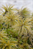
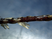
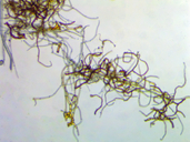
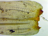
- Cal Photos images
- Elevation by latitude plot
MAP CONTROLS
1. You can change the display of the base map and layers by clicking on the layer control box in the upper right-hand corner.
2. California county polygons can be turned off and on in the layer control box.
3. Filling of Jepson subdivision polygons can be turned off and on in the layer control box.
Database links
UC Specimens in the University and Jepson Herbaria Public Portal
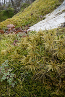
Specimens of Climacium dendroides in the Consortium of North American Bryophyte Herbaria portal (CNABH)
No Distribution in California.
Illustration References: Malcolm et al. 2009 p. 227.
No illustrations found in database.


