|
|
|||||
| University of California, Berkeley | |||||
| Directory News Site Map Home | |||||
|
Home · List of Genera · Key to Keys · Accepted Names · Synonyms · For Beginners · See also .... Subdivisions of CA — Jepson eFlora for CA Vascular Plants — Specimen records — Elevation by latitude plot — Tropicos nomenclature — Cal Photos images — Bryophyte Flora of North America — Google Scholar | ||
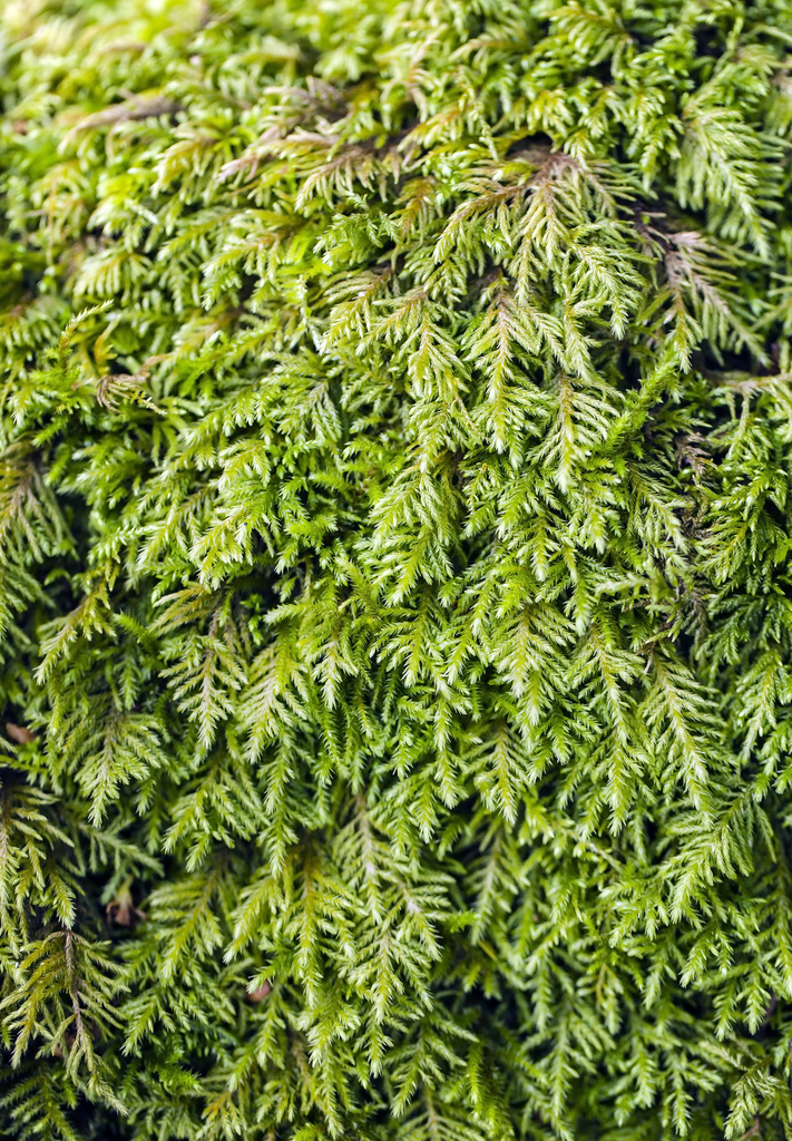
| Bestia longipes (Sullivant & Lesquereux) Brotherus [Brachytheciaceae] | ||
|---|---|---|
 |
||
| photo by Game |
| Literature | Harthill et al. 1979; Kellman 2003; Koch 1950a; Mishler 1978; Steere 1954; Toren 1977; Whittemore and Sommers 1999; Yurky 1990, 1995. As Alsia longipes Bradshaw 1926; Kingman 1912; Lequereux 1868. Misapplied as Bestia "brevipes" McCleary 1972. |
| Illustrations | Malcolm et al. 2009 p. 312; Grout 1928-40; Sullivant 1864. |
| Bioregions | CW, NW, SW. |
| Vouchers | Alameda Co.: Strawberry Creek east of Hilgard Hall, U. C. Berkeley, Norris 82503; Humboldt Co.: South Fork Trinity River, Tracy 7371 (UC); Lake Co.: base of Mt. Konocti, Clear Lake State Park, Toren 6844 (CAS); Santa Barbara Co.: off Highway 154 along old Stagecoach Road at Cold Springs Tavern, Los Padres National Forest, Laeger 526 (CAS) and Water Canyon, Santa Rosa Island, Channel Islands National Park, Shevock & Rodriquez 20817; Santa Cruz Co.: Zayante Canyon Road about 4 miles south of Summit Road north of Felton, Norris 86869. |
| Copyright © 2024 Regents of the University of California
We encourage links to these pages, but the content may not be downloaded for reposting, repackaging, redistributing, or sale in any form, without written permission from The University and Jepson Herbaria. |